 Laying Out of Limits


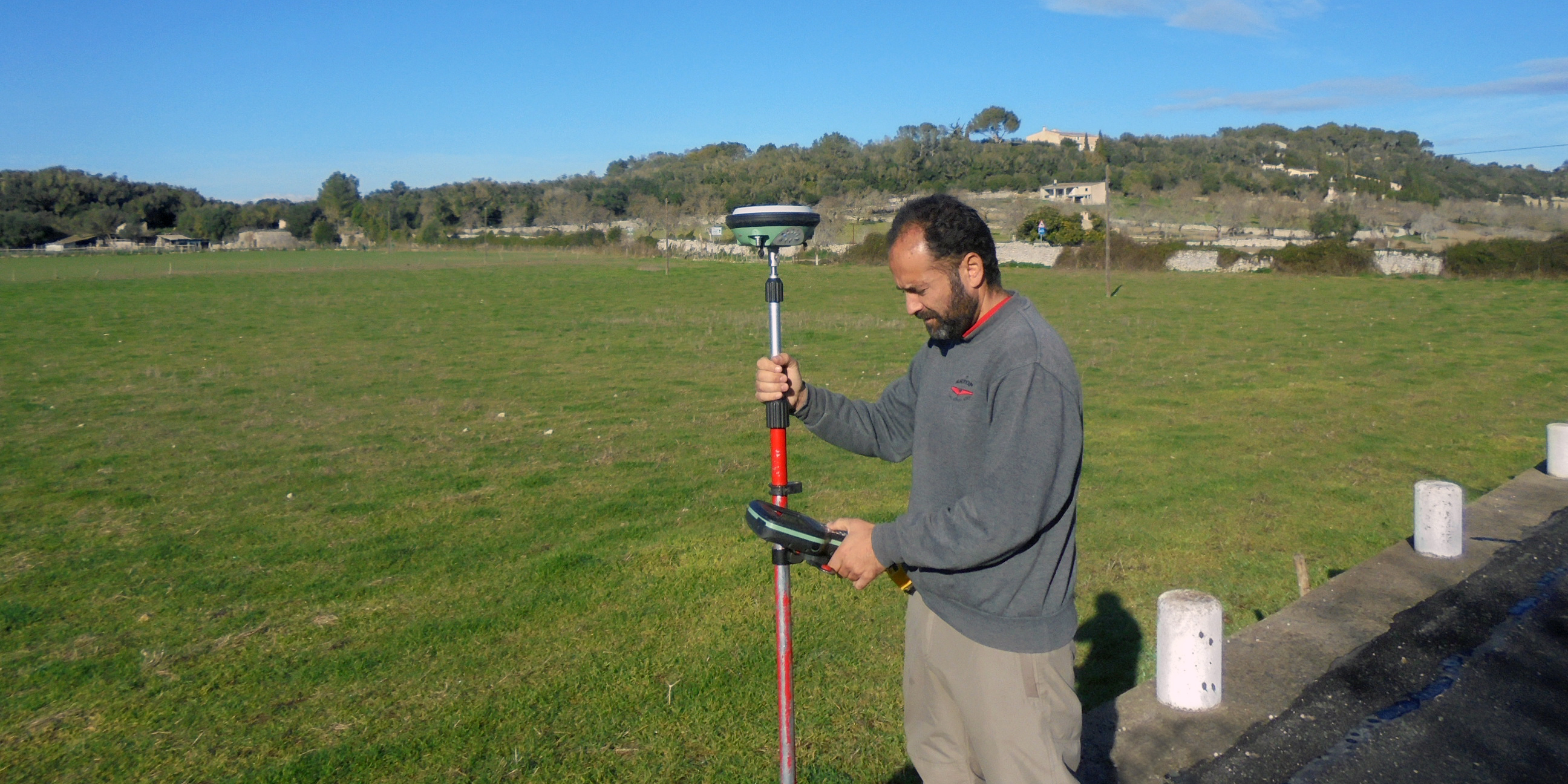


This topographical work is done through the use of stakes, pins or paint marking out the limits and alignment on a piece of land from a plot plan, estate projects, deeds or property plans. After this, a control plan is done which shows alignments and boundaries marked.
These plans are for defining and identifying property boundaries, resolving conflicts due to neighbour expropriation and recording in a document for the notary public, property register and land registry.
- Topographical Plans
- Measurement Plans and Boundary Studies
- Georeferenced plans
- Laser Scan - 3D Point Cloud
- Survey Plans
- Present Building state
- Laying Out of Limits
- Laying Out of Works
- Longitudinal Levelling and Profiles
- Cadastre
- Herat Movements and Volume Calculation
- 3D Photogrammetry
- Bathymetric Plans
- Sunlight studies
- Special Works