
Knowledge of the subsoil is ever more important as it makes up the basis of human activity, excavation materials, storage or construction; from here rises the importance of geological-geotechnical studies as a basis for civil engineering projects.
Geological-geotechnical studies aim at developing geological, geomechanical and geotechnical models that allow us to understand how subsoil materials behave.
Geology provides the necessary information for lithological, structural, geometrical, geomorphological, hydrogeological behaviour recognition, etc
Geotechnics provides the tools from a geomechanical point of view in relation to identification, aggressiveness, expansiveness, resistance and deformability of materials.
The compendium of the two disciplines guarantees an optimal solution to civil engineering problems. The work methodology is made up of field studies, land prospecting and laboratory trials:
- As part of the field study, geological mapping jobs and Geotechnics are carried out: lithology, structure, hydrogeology, geomorphology and geotechnical features.
- As part of land prospecting the following are carried out:
- Surface area tasks: trial pits, wells and ditches.
- Geophysical prospecting: seismic, electrical and radar.
- Penetrometry: static and dynamic.
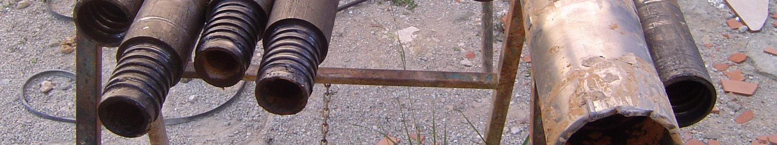
- Mechanical probes: rotation, roto-percussion and helicoidal.
- Analysis and soil identification trials, petrographic rock studies, analysis and trials are done in the laboratory.
ESTOP S.A. oversees the most modern exploration equipment, thus guaranteeing a true zone division of the substrata which, when used in the proper areas, provide a situational diagnostic.
Geological-geotechnical studies for:
- Civil, industrial and service projects (foundations, flagstones, piles, underpinning of buildings ).
- Lineal works (roads, railway tracks, etc ).
- Excavations and embankments.
- Mining and quarries.
- The detection, prevention and mitigation of geological risks (expansivity, loosening, carstification, likelihood of flooding and erosion, etc ).
- Geological, geomorphological, hydrogeological, geotechnical mapping, etc
- Geophysical prospecting (geoelectrical, seismic, georadar ).
Evaluation of environmental impact.